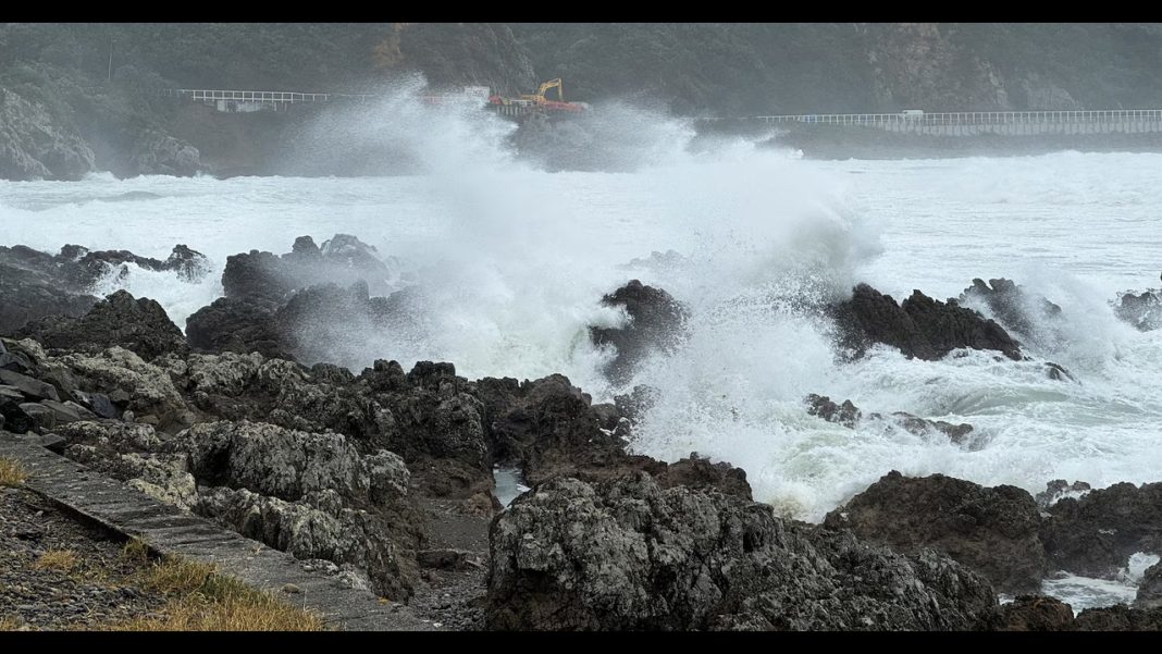
Wellington, New Zealand May 01: New Zealand’s capital city, Wellington, has been lashed by the strongest winds in over a decade, prompting authorities to issue a red warning — the highest level alert — for the region. Gusts exceeding 140 km/h (87 mph) caused widespread disruption on Thursday, toppling trees, damaging power lines, and forcing the closure of public transport and coastal roads.
Simultaneously, the country’s South Island has declared a state of emergency following hours of torrential rain, which triggered significant flooding across multiple regions. Emergency services were deployed to rescue stranded motorists, evacuate residents, and set up temporary shelters for displaced families.
MetService, New Zealand’s national meteorological agency, reported that some southern areas received more than 150 mm of rainfall in under 24 hours — a deluge not seen in years. Rivers quickly breached their banks, submerging farmlands and cutting off rural communities.
“We are urging residents to stay indoors, avoid travel unless necessary, and keep updated with local alerts,” said Civil Defence Minister Kieran McAnulty. “The situation remains dangerous and fluid.”
Wellington Airport temporarily suspended operations due to strong crosswinds, and ferry services across the Cook Strait were canceled. Officials warned that more severe weather is expected in the coming days, with saturated soil increasing the risk of landslides in hilly regions.
New Zealand’s National Emergency Management Agency is coordinating with local authorities and defense forces for flood response, while meteorologists monitor further developments closely.
This extreme weather comes amid increasing concerns about the impact of climate change on New Zealand’s coastal and mountainous regions, which are becoming more prone to severe storms and environmental hazards.

