
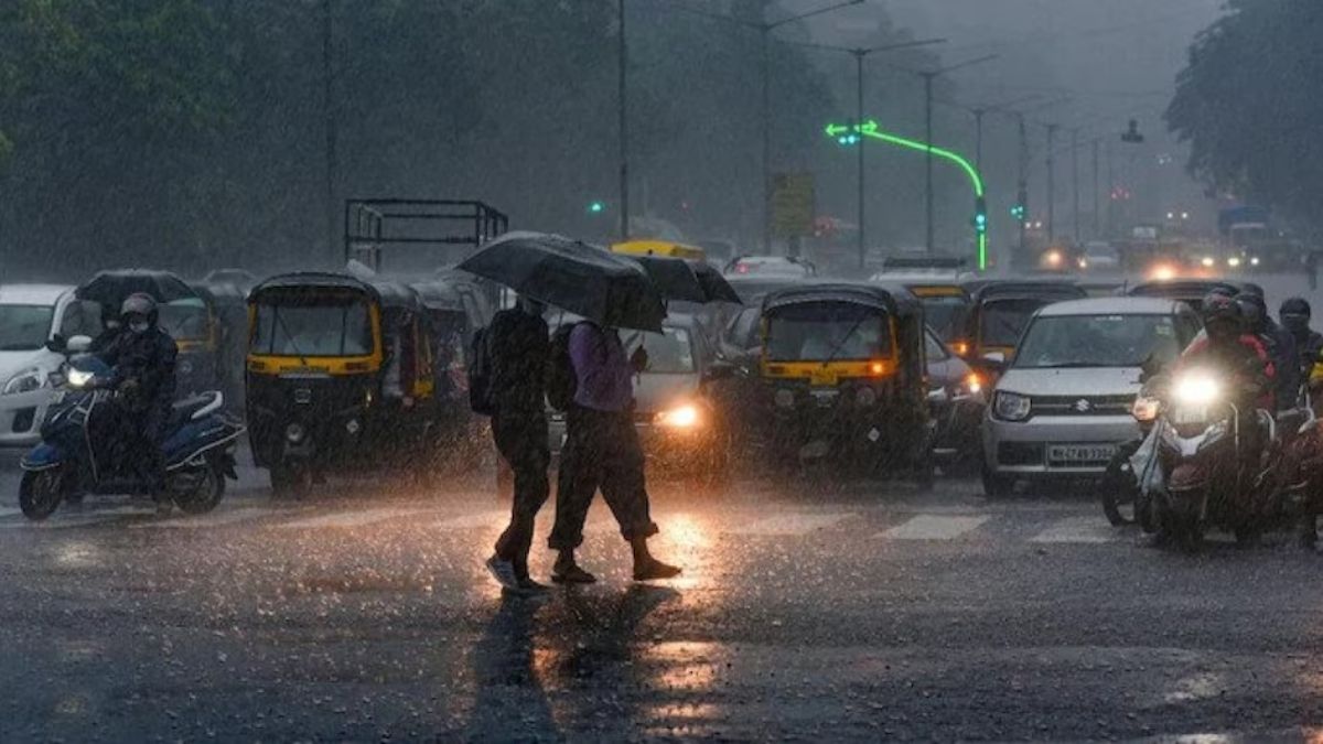


After rain and thunderstorms brought relief from intense heat across Delhi-NCR on Thursday evening, the India Meteorological Department (IMD) has forecast more wet and windy weather for the region today. According to the weather department, Delhi, Noida, Ghaziabad, Gurugram, and Faridabad will likely experience cloudy skies, intermittent rainfall, thunderstorms, and strong winds. This fresh spell of pre-monsoon activity continues to sweep across northern India.
Consequently, the forecast brings much-needed relief. Several parts of Delhi received heavy showers on Thursday, while dust storms and gusty winds swept through neighboring NCR cities. These storms reduced visibility and temporarily disrupted traffic movement in several areas.
What is the Weather Forecast for Delhi Today?
The IMD stated that the current spell of rain and thunderstorm activity will likely continue across Delhi-NCR until May 31. For today, residents can look forward to a much cooler and dynamic weather pattern.
Expected Conditions for Friday:
- Cloudy Skies: Overcast conditions will remain throughout the day.
- Intermittent Rain: Showers are expected to hit several parts of Delhi-NCR.
- Thunderstorms: Active storm conditions will likely develop during the day and evening.
- Gusty Winds: Strong, isolated winds will accompany the rain.
- Cooler Temperatures: The weather system will keep conditions relatively mild compared to earlier this week.
Thunderstorm Activity May Intensify
Weather experts have indicated that storm activity could become even stronger today. Mahesh Palawat of Skymet Weather reported that thunderstorm activity has already begun over northern parts of Rajasthan. It is expected to spread to Delhi by evening and continue through the night.
Furthermore, the intensity of the storms is likely to increase on Friday before the weather system gradually shifts westwards.
“The intensity of the storms is likely to increase on Friday and the spell is expected to continue till May 30,” Palawat noted. “After this, the weather system is likely to shift towards Gujarat between May 30 and 31.”
Interestingly, this current spell of rainfall may be stronger than the pre-monsoon showers that Delhi witnessed earlier this month and in April, leading to widespread rainfall activity across the city.
Why is Delhi Seeing Rain in May?
Meteorologists attribute this dramatic changing weather pattern to multiple systems working together over northern India. Specifically, the activity is being driven by three major factors:
- A western disturbance sitting over the northern hills.
- An induced cyclonic circulation active over Rajasthan and adjoining regions.
- Moisture-laden winds pulling in from the Bay of Bengal.
Ultimately, the combination of these distinct systems has created perfect conditions for widespread thunderstorms and rainfall across the entire capital region.
Temperatures Likely to Drop Significantly
One of the biggest takeaways from the latest forecast is the expected fall in temperatures. The IMD predicted that temperatures across Delhi-NCR could decline by around 5 to 7 degrees Celsius after May 29.
| Region | Expected Weather Today | Temperature Trend |
| Delhi | Intermittent Rain & Thunderstorms | Drop of 5 to 7°C |
| Noida & Ghaziabad | High Winds & Dust Storms | Significant Cooling |
| Gurugram & Faridabad | Cloudy Skies & Showers | Relief from Heatwave |
Meanwhile, the southwest monsoon is expected to reach Kerala by or before June 3. Delhi’s official monsoon arrival is currently projected around June 27, though weather agencies will continue to monitor developments closely over the coming weeks.